Filed under: Cities, Transit | Tags: Montreal, new york, Philadelphia, public transportation, regional rail, subway, subway stations, Toronto, train stations
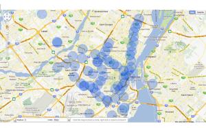
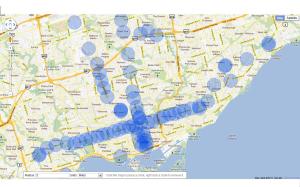
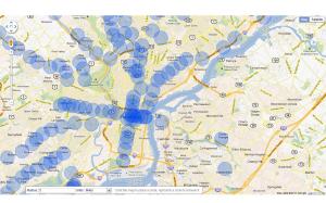
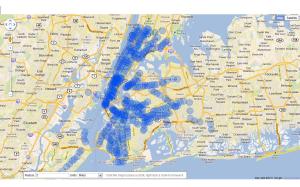
Here are maps I made quickly of quarter mile radius (mathematicians will know almost immediately this means half mile diameter) circles centered on subway and suburban train stations. A quarter mile is a good measure of a comfortable walk from your home to your local station on your way to work or to do your shopping.
The four maps are of Montreal, Toronto, New York and Philadelphia. What to look for is the areas outside of the blue circles, because these are the areas in these cities that are not properly served by a subway.
I remember in the 1970s Toronto apparently had a subway system that was the envy of the world. I believe they added two new lines – Scarborough and Sheppard – since the initial system was built. The map tells the story: most areas of the city are poorly served by trains. Philly and Montreal are the same.
New York is another story: it’s very well served by its trains especially in Manhattan and Brooklyn but also in the other boroughs.
Leave a Comment so far
Leave a comment


